Assessed value
$186,600
$90,300 bldg · $96,300 land
Acreage
0.34 ac
$548,824 / ac
Land use
1-1
RR1
Year built
1950
424 sqft
Owner mailing
W Cornwall, CT
Different from property address (absentee owner)
Building
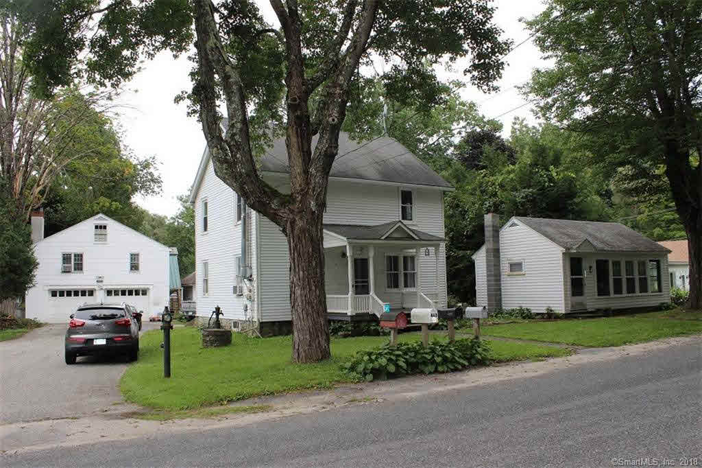
- Style
- STUDIO
- Year built
- 1950
- Living area
- 424 sqft · 1.0 story
- Exterior
- Wood Shingle
Recorded sales
Mar 15, 2019
— HILBIG MICHAEL SURV &
Bk/Pg 0256/0339
Dec 31, 1996
— SALITER DONNA
Bk/Pg 0165/0370
More on Salmon Kill Road
3 SALMON KILL ROAD
$566,000 · 0.75 ac · Built 1915
5 SALMON KILL ROAD
$421,600 · 0.5 ac · Built 1870
8 SALMON KILL ROAD
$482,800 · 3 ac · Built 1870
17 SALMON KILL ROAD
$529,000 · 0.81 ac · Built 1890
20 SALMON KILL ROAD
$985,400 · 59.4 ac
21 SALMON KILL ROAD
$254,500 · 0.42 ac · Built 1935
23 SALMON KILL ROAD
$241,800 · 0.39 ac · Built 1950
25 SALMON KILL ROAD
$200,900 · 0.37 ac · Built 1980